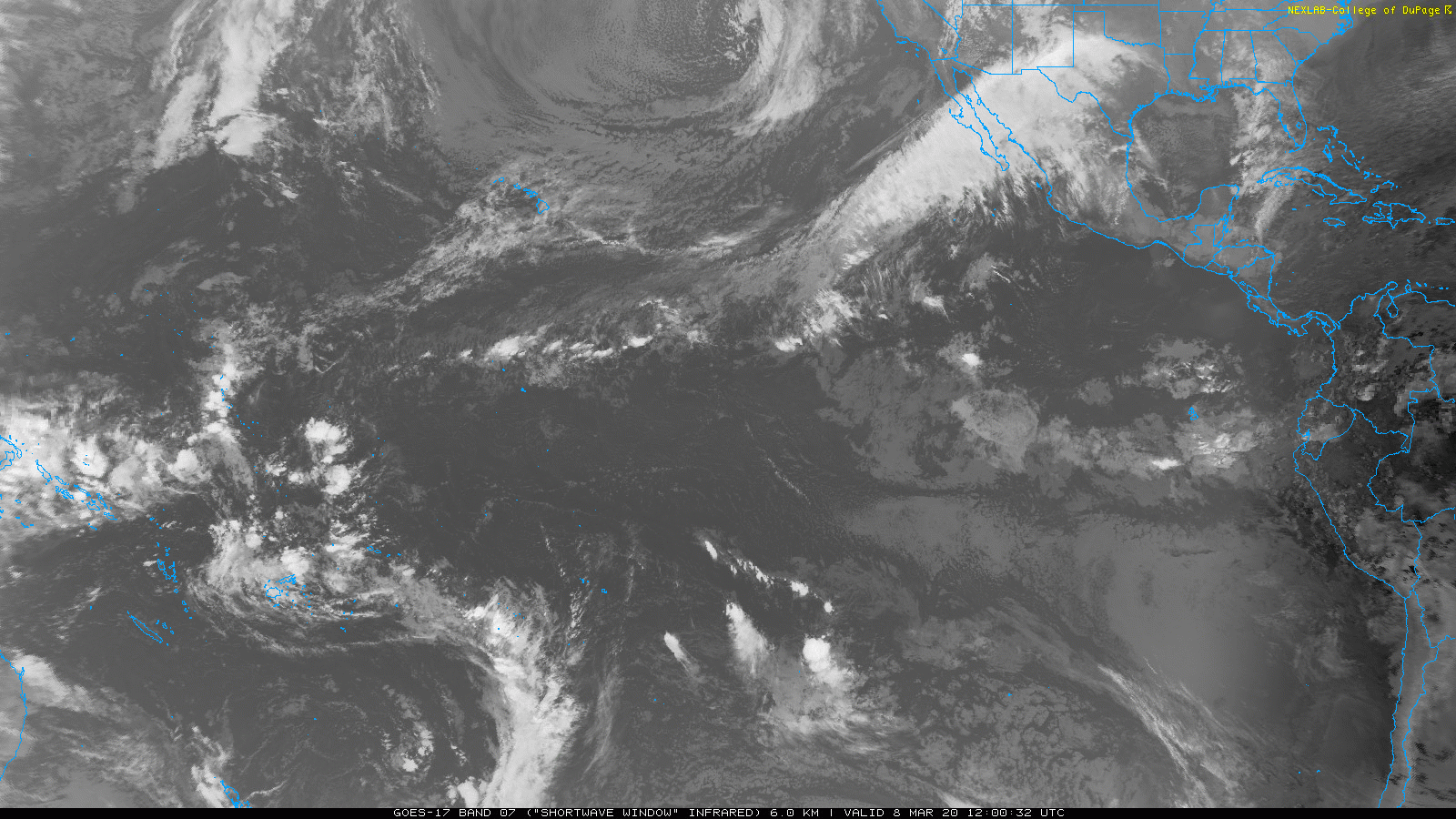
Infra-Red (indicates heat), black color = hottest, usually land, or *small areas where you can see the sun crossing overhead, note the size*…
Whitest color = coldest (highest clouds)
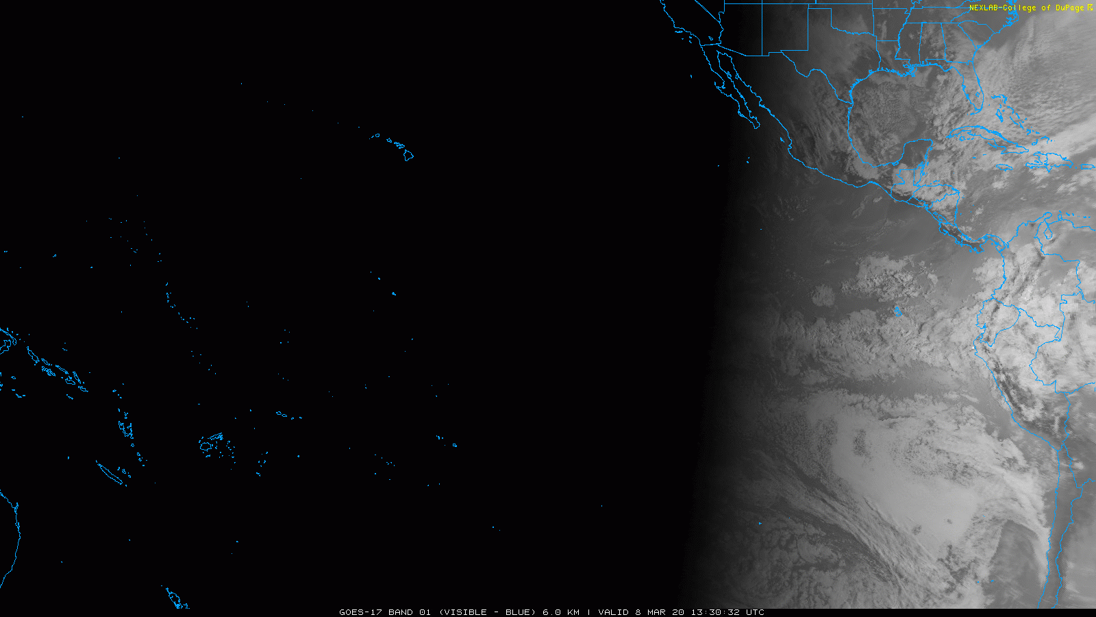
Visible imagery… “sun glint”
Infra-Red (indicates heat), black color = hottest, usually land, or *small areas where you can see the sun crossing overhead, note the size*…
Whitest color = coldest (highest clouds)
Visible imagery… “sun glint”